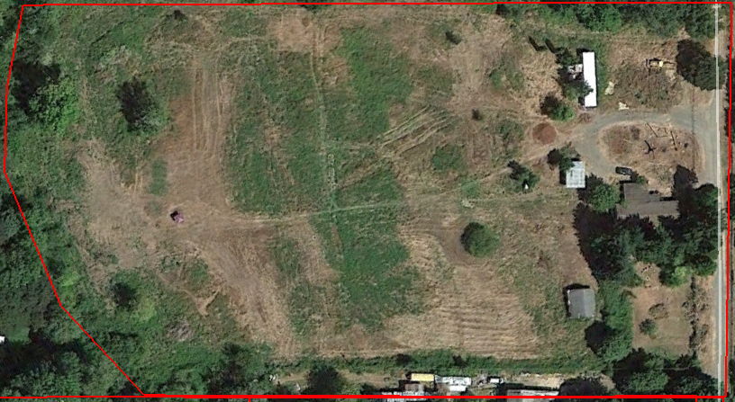
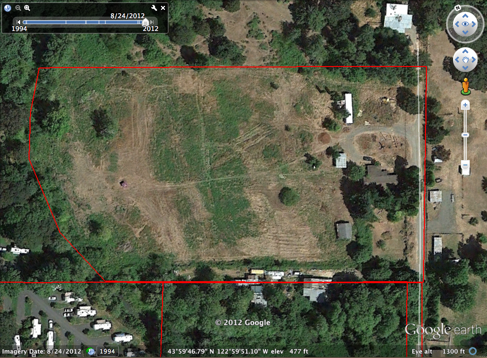
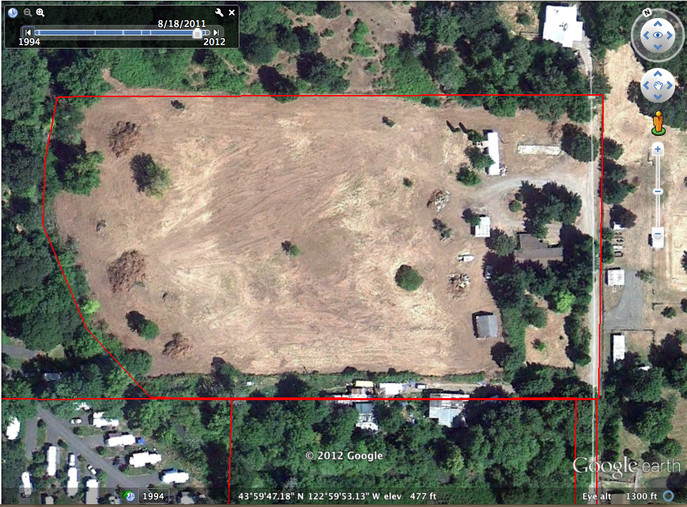
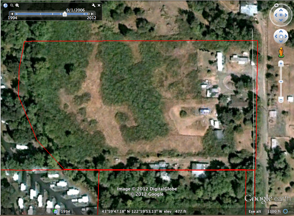
Google Earth Images of Rosewold
Google Earth KMZ file
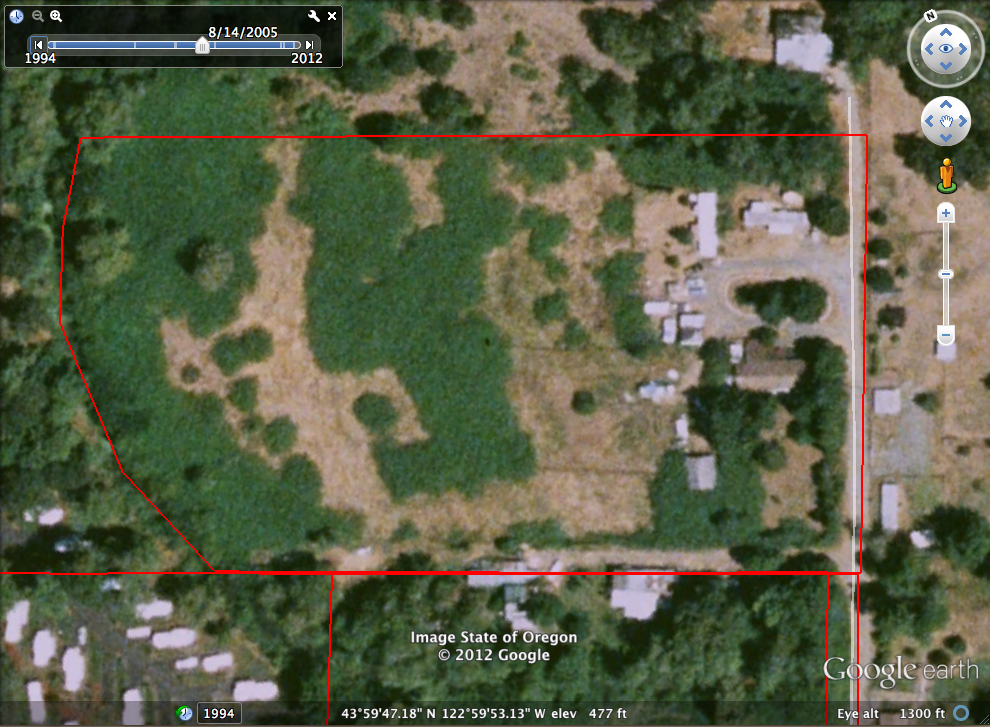
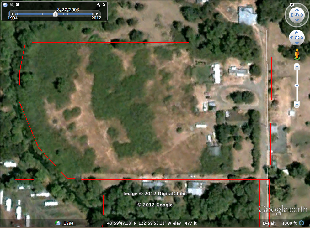
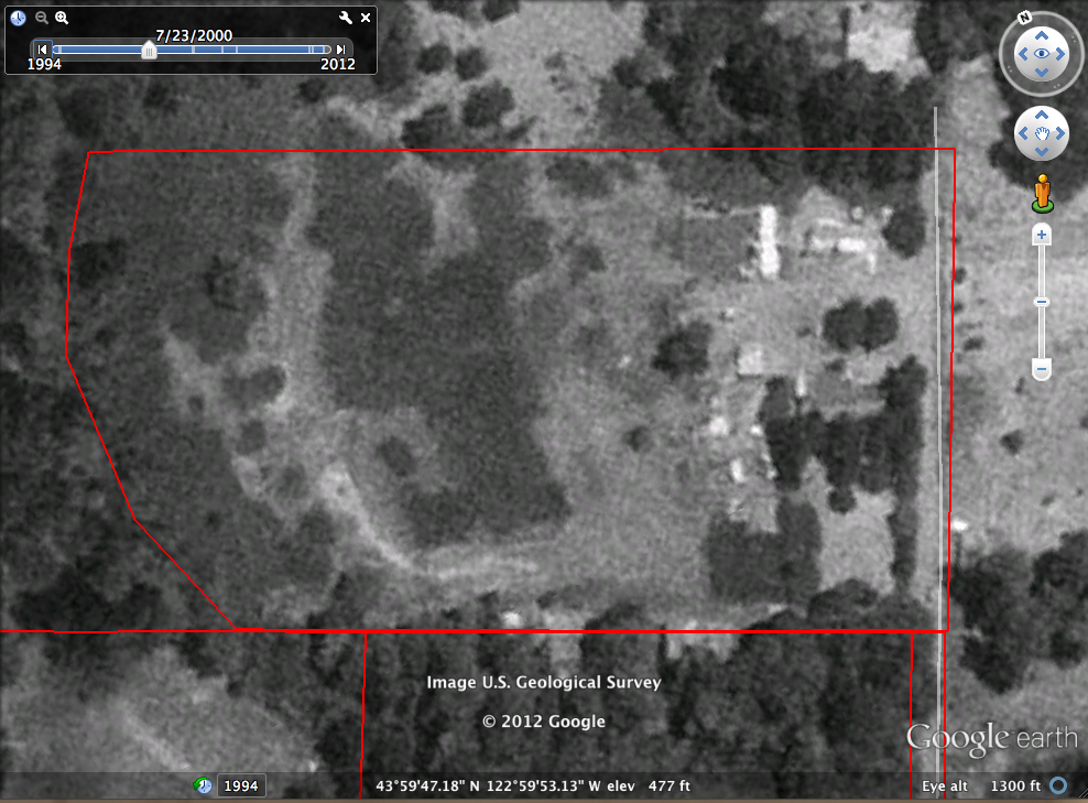
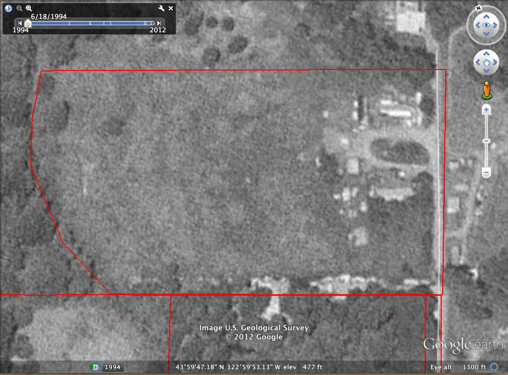
Screen captures from Google Earth. (Copyrighted, but presumed to be Fair Use.)
The Montana-shaped outline is the approximate boundary of the property. 7.1 acres.
Enjoy!


You are visitor number to this page.
8 items. This page was last updated 2015-03-08 21:47:55 MDT.